

Bride Valley and Chesil Pilgrimage, West Dorset
Southwest England




Bride Valley and Chesil Pilgrimage: Circular from Abbotsbury - 39 miles, 4-5 days
Explore beautiful landscape, ancient sites, and historic churches in west Dorset
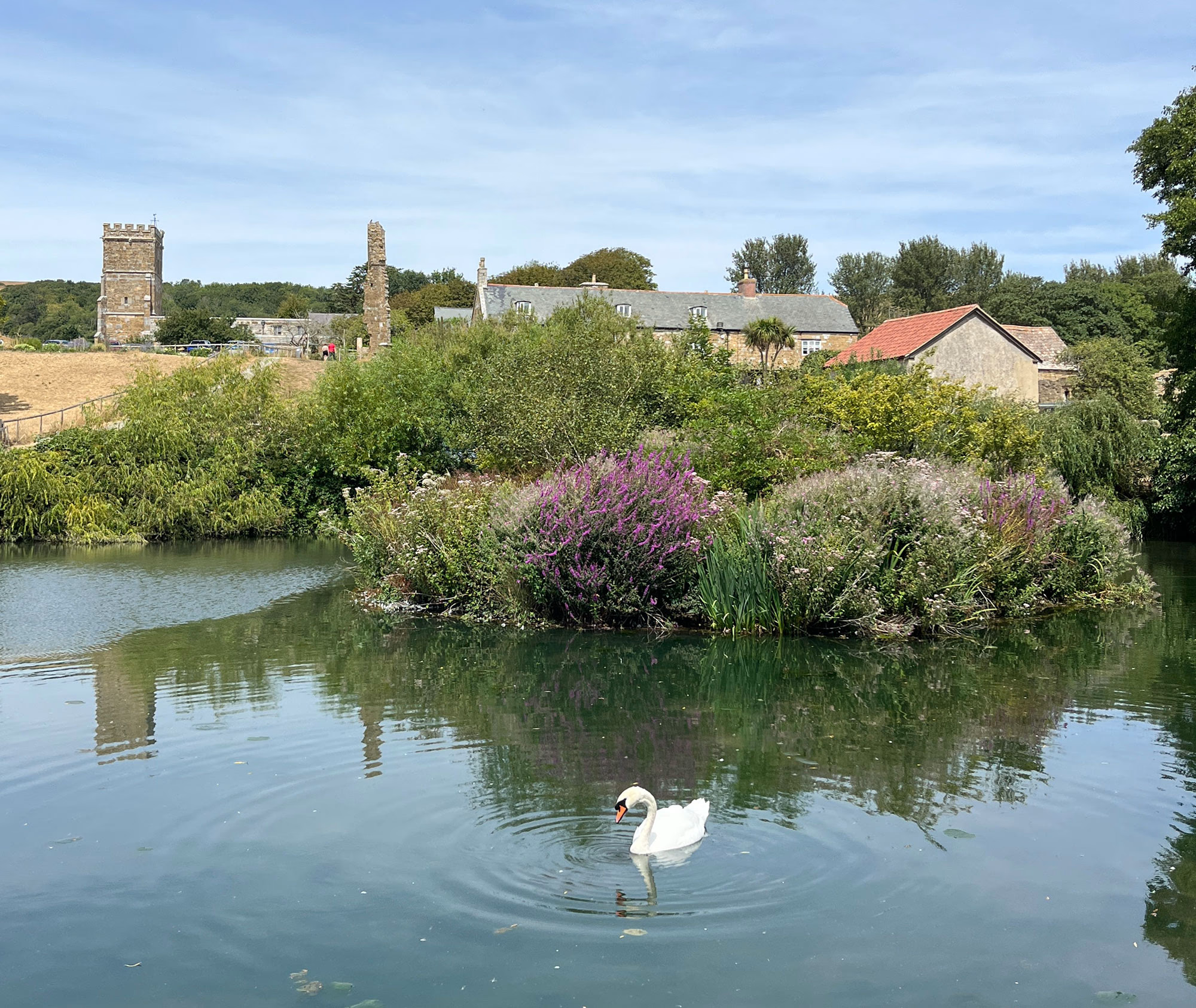
Welcoming pilgrims of all faith and none, this circular pilgrimage starts in Abbotsbury at Saint Nicholas’ Church, which has many centuries of history on display; see if you can find the musket ball hole in the pulpit left during the civil war. Just to the south of the church is the tithe barn and abbey fish pond.
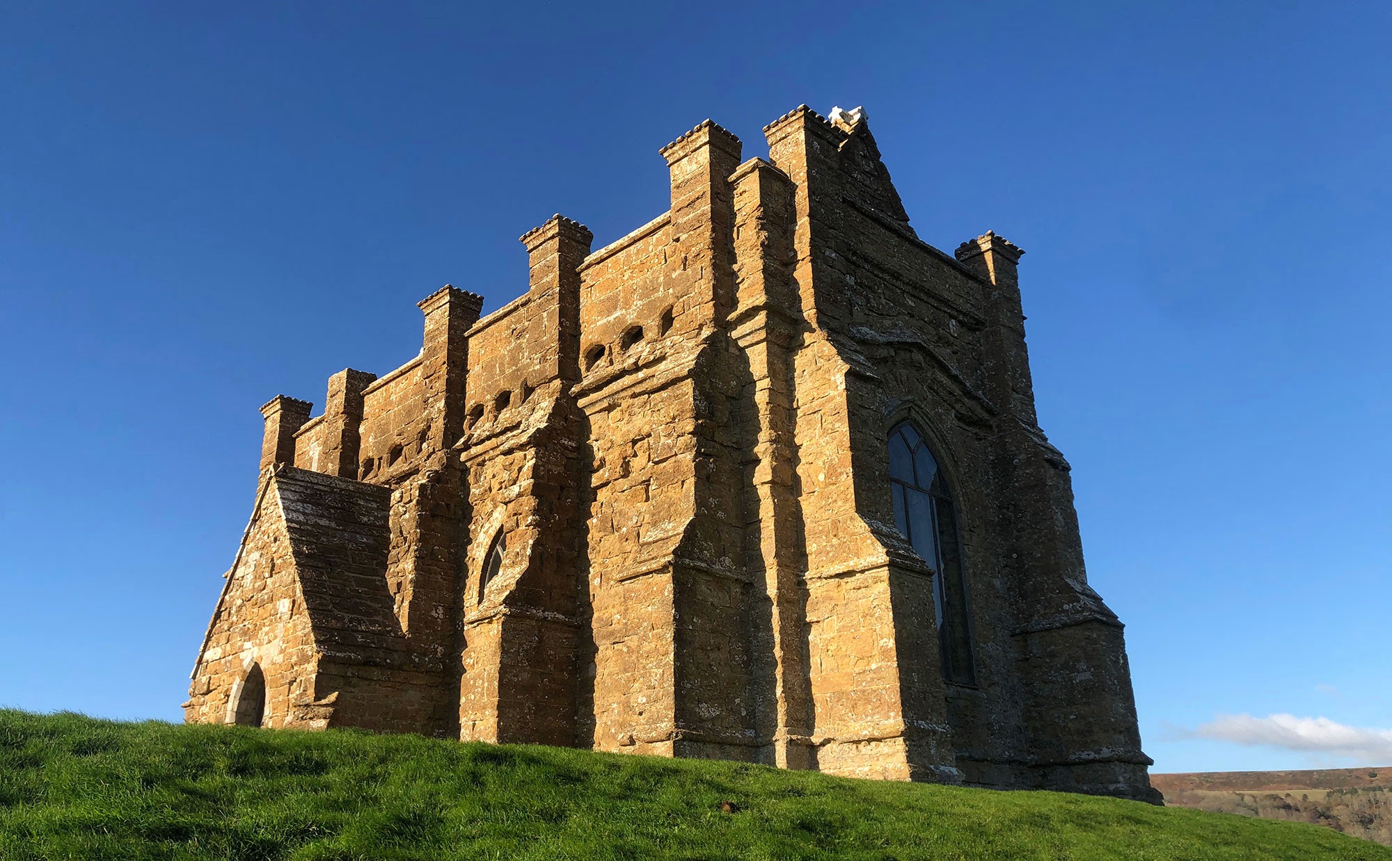
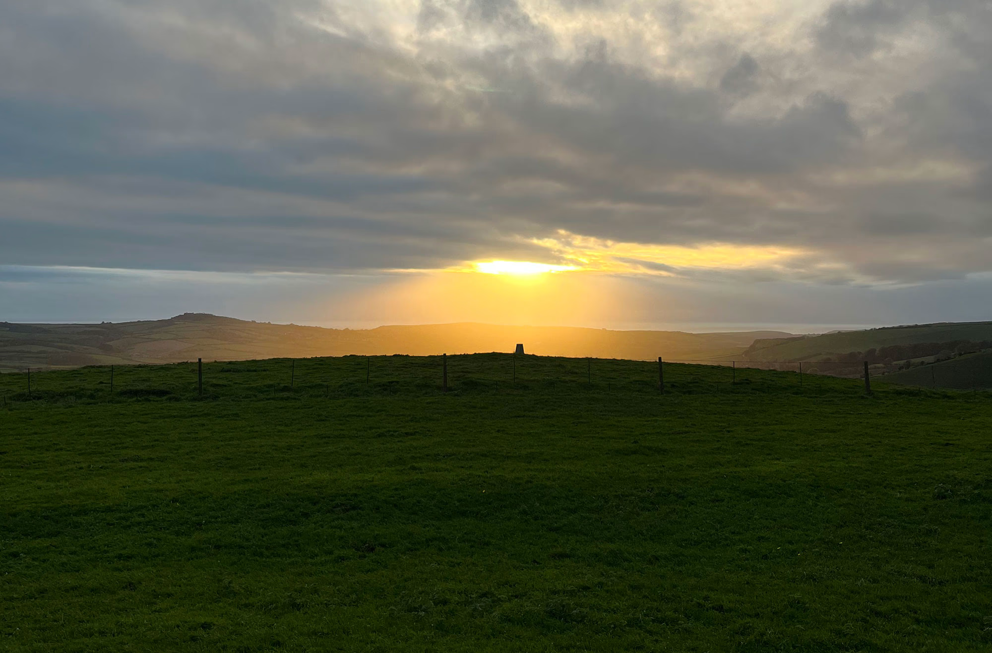
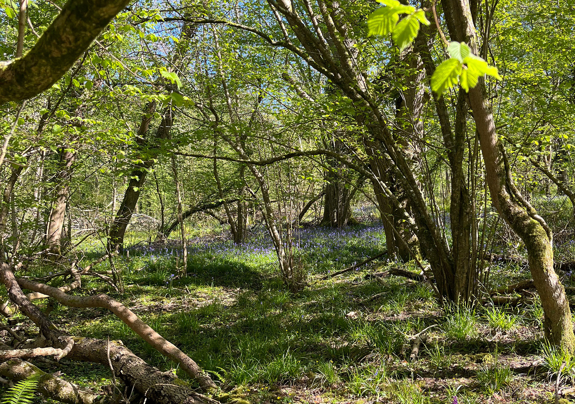
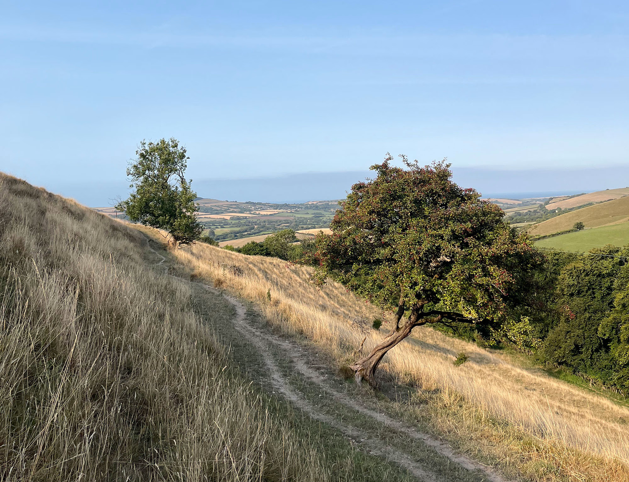
Head north out of the village to the hill line. Pass the ancient burial mounds and look north across to the far side of the Bride Valley. Follow the track through the woods to the ruins of the 15th Century Saint Luke’s Chapel.
Continue on to Puncknowle and Saint Mary’s Church for your next stamp. The church boasts a curious 12th Century font and 16th Century wall paintings. Look for the Napier monuments on the walls and in the glass windows, and the RN on the entry door.
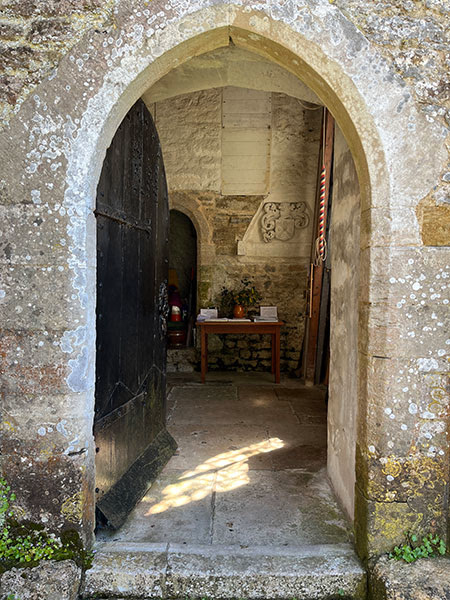
Cross the fields to Swyre’s Holy Trinity Church which was extensively restored in the ‘Gothic’ fashion in 1843. Look out for the roof boss that inspired the church’s stamp.
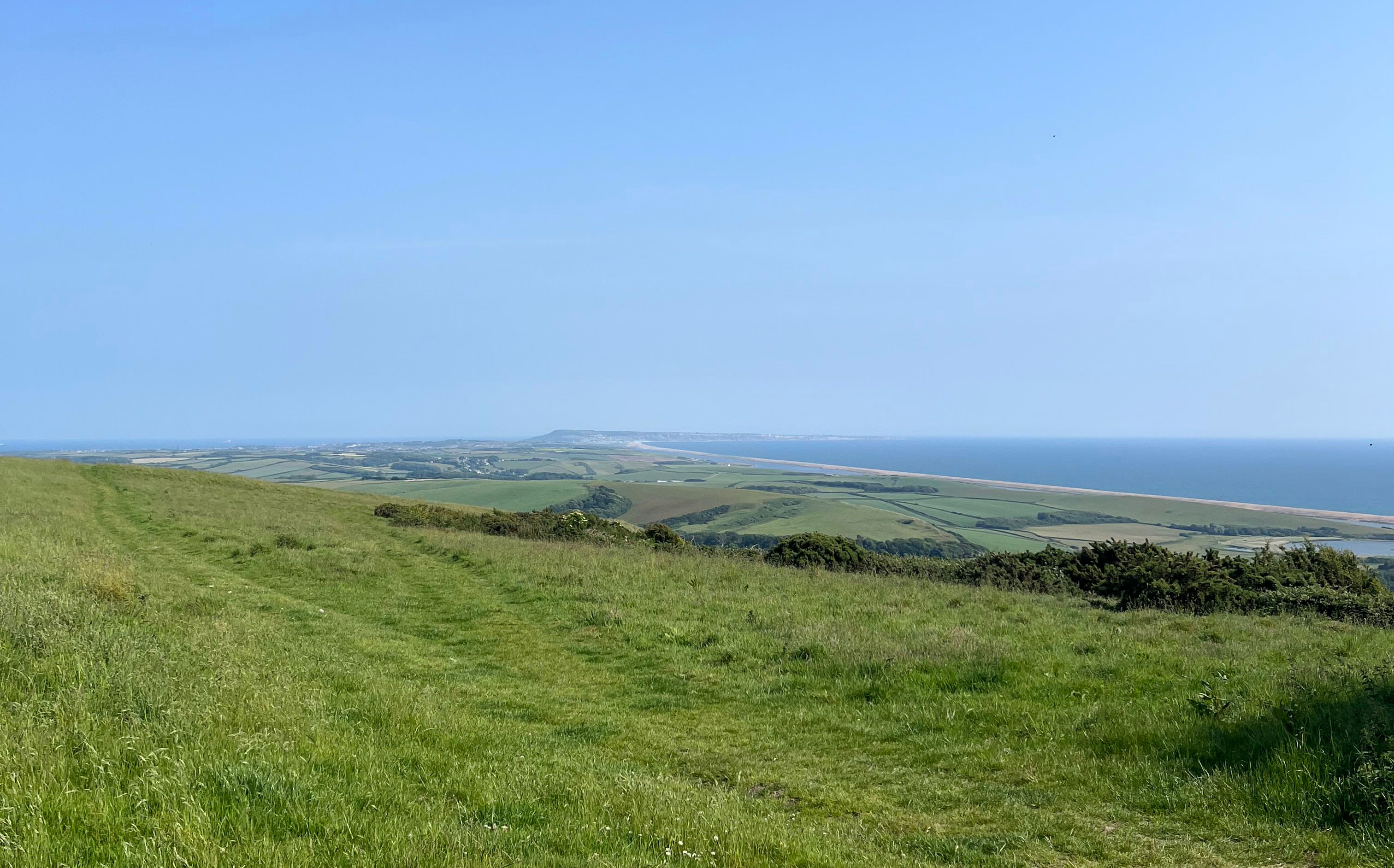
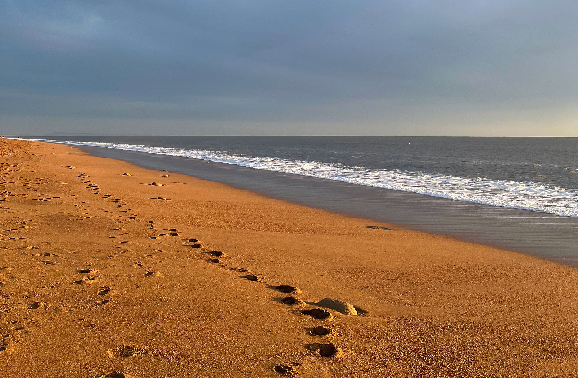
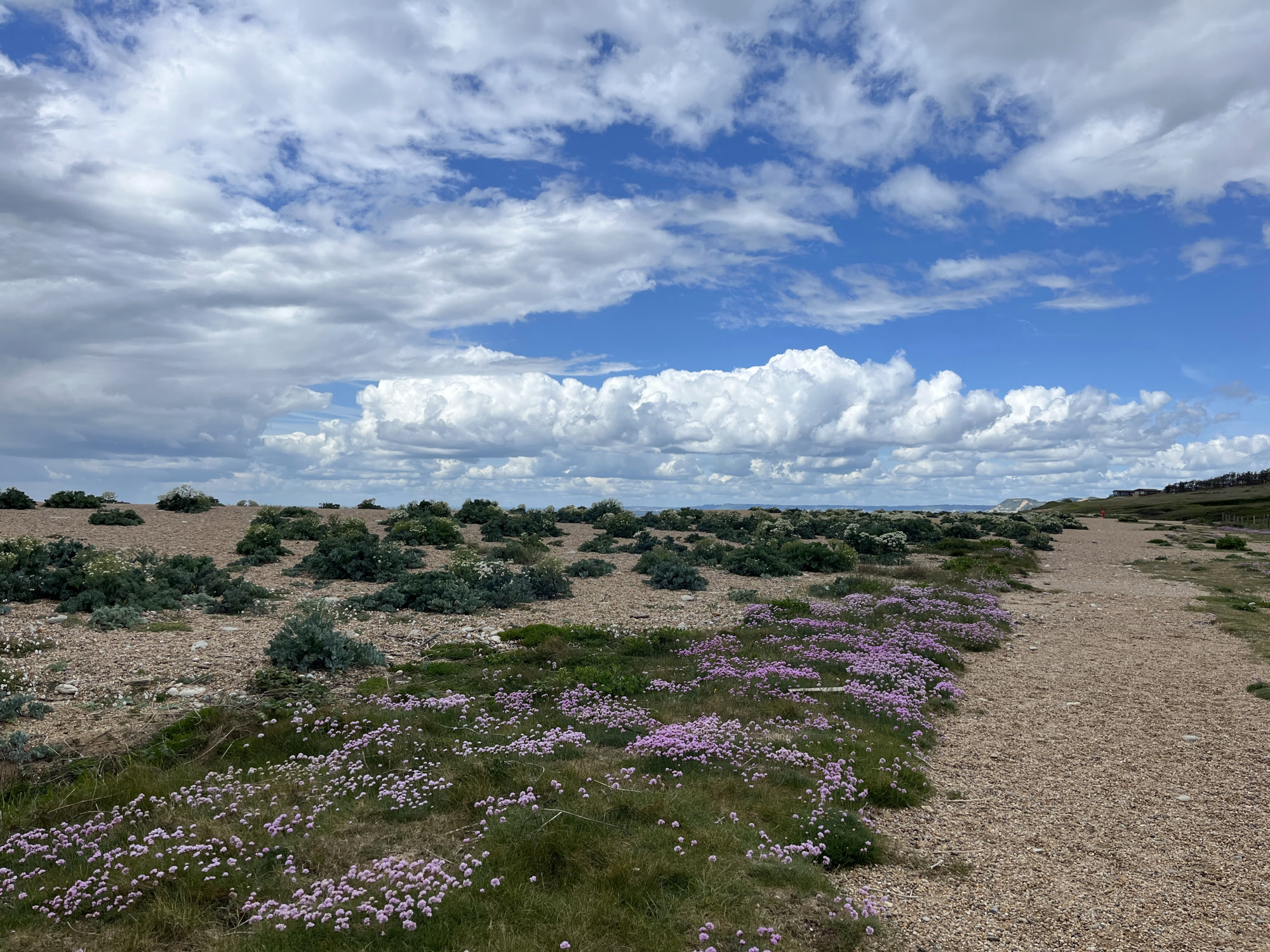
Head downhill towards the sea and follow the beach towards Burton Bradstock.
Collect your pilgrim stamp at Saint Mary’s Church and explore its history; from the 14th Century transepts to the Arts and Crafts panels and windows. Look for the ‘teeth’ in the windowframe, an unusual deformity in the stone!
Again head north to the hill line and follow the path to Bothenhampton. All that remains of Holy Trinity Old Church is the chancel but take a look inside to see the Georgian reredos and stamp your pilgrim’s passport. Head into town to explore Bridport’s Georgian streets and rope-making history or continue on your pilgrimage.
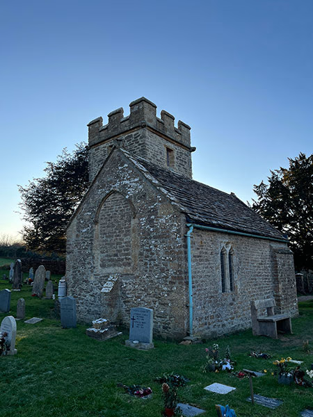
Head east across the fields to Shipton Gorge’s Saint Martin’s Church, sitting on its own small hill and offering beautiful views of the countryside beyond. Step into the church to see the early 14th Century font, victorian sculpted capitals, and to stamp your passport.
Follow the road and path to Shipton Hill, an Iron Age defensive settlement, and across the small valley to Chilcombe. The undedicated 12th Century church has never been expanded yet has a rich history with connections to the Knights Hospitallers, see the knight’s cross in the church’s stamp. The church is home to an important wooden panel, possibly recovered from the wreckage of the Spanish Armada on Chesil Beach in 1588.
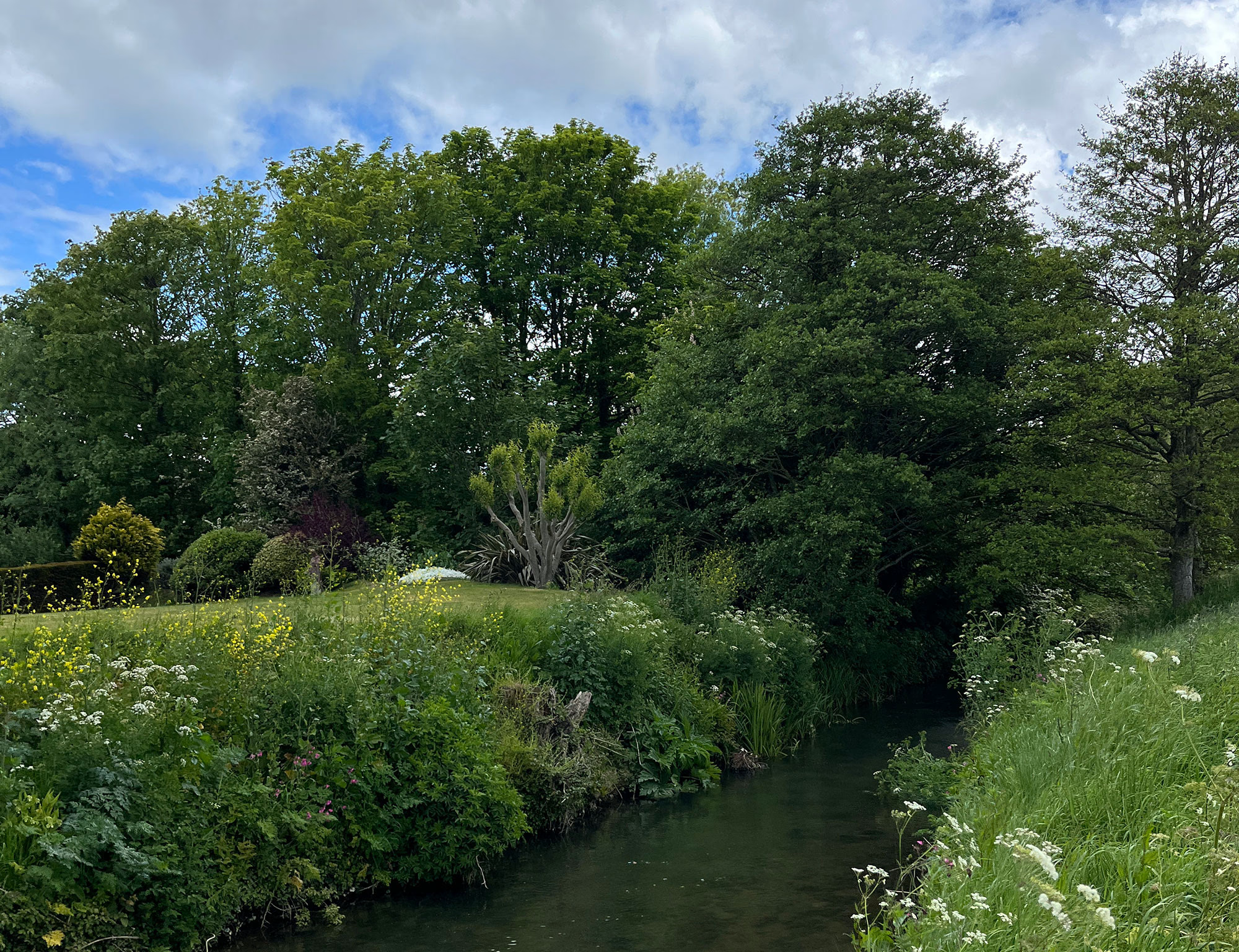
Cross the next small valley towards Litton Cheney, take the wooden turnstile next to the stream and enter the church. Listen out for the clock which is hand wound each morning and look for the stonework that inspired the stamp.
Take the fields across to Long Bredy and then head up the village to find Saint Peter’s church nestled in the chalk hills. Though the church was much restored by the victorians the chancel retains its 13th Century stonework and character. Collect your stamp and on the way out see the memorial plaque in the porch that inspired it.
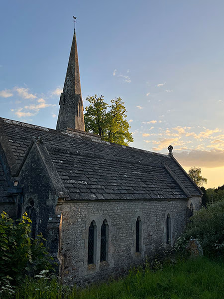
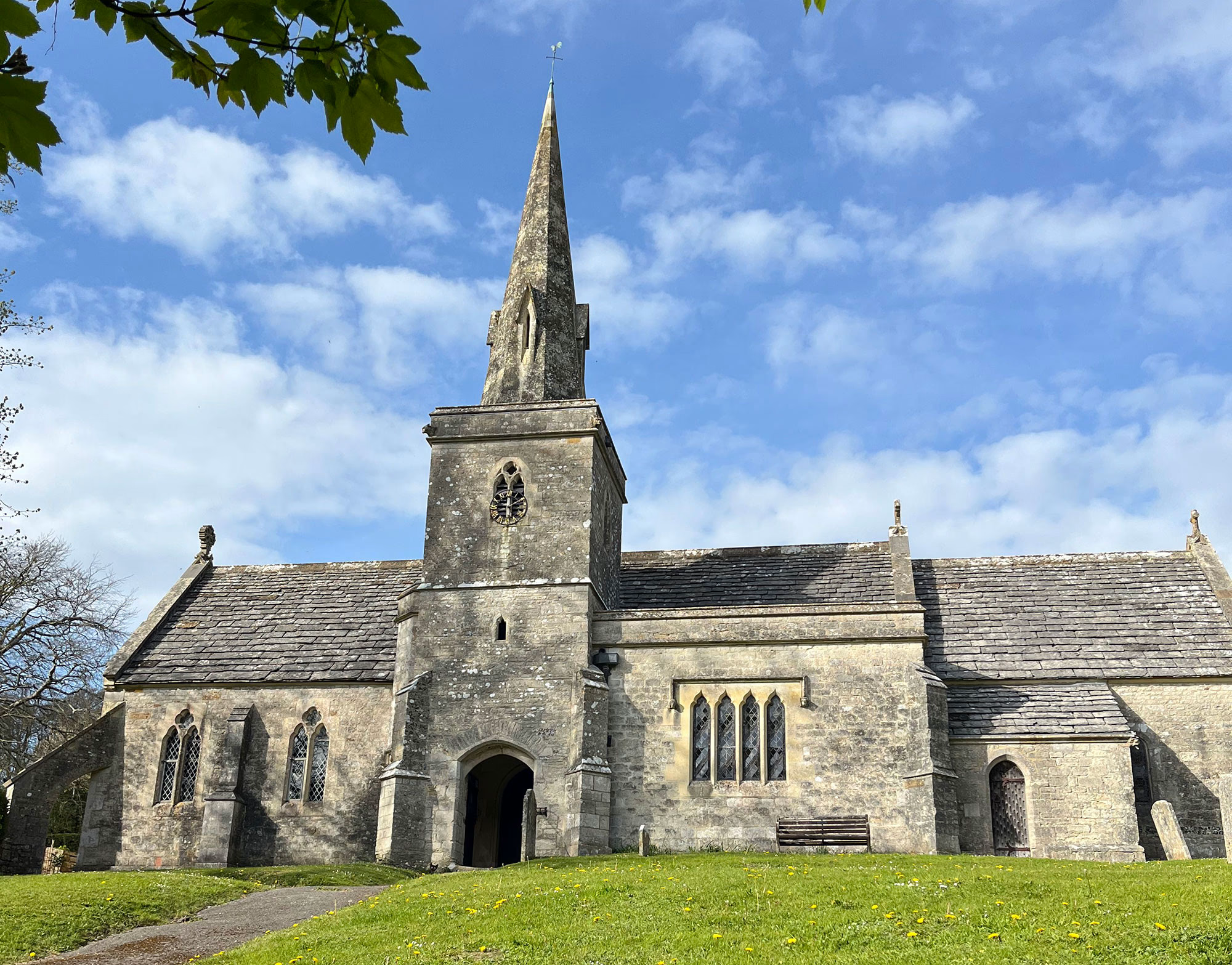
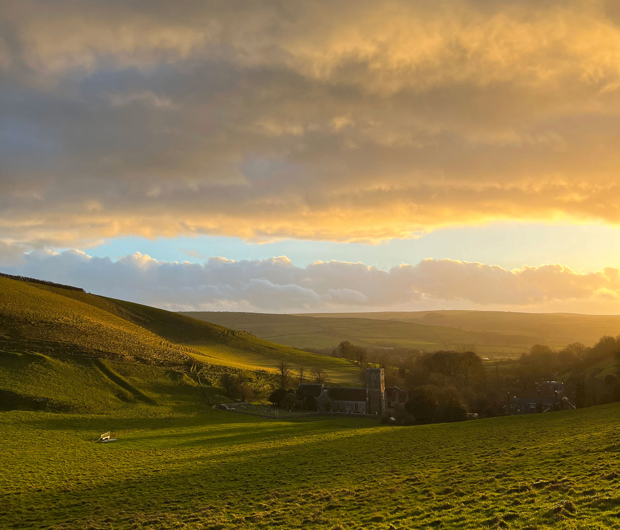
On top of the hill behind the church lies the neolithic Long Bredy long barrow, at 195 metres long it is the second longest in Britain. Continue along the ridgeway and to the Poor Lot barrows, a Bronze Age cemetery of at least 30 burial mounds. Drop down into Little Bredy to the church of Saint Michael and All Angels. Burial ground of the Williams family, former owners of the Bridehead Estate, and supporting one of Dorset’s few spires, St. Michael’s is largely Victorian and of the highest quality material.
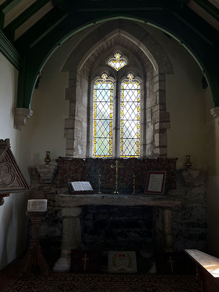
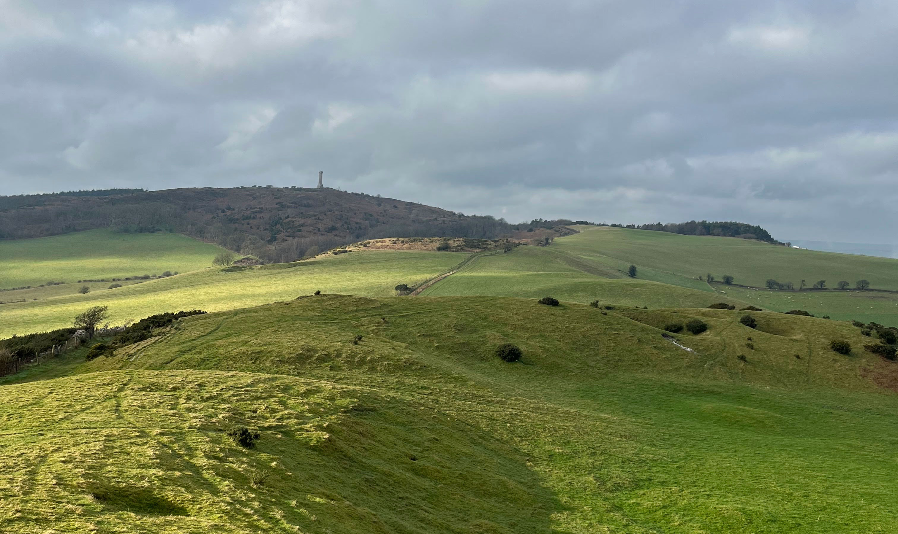
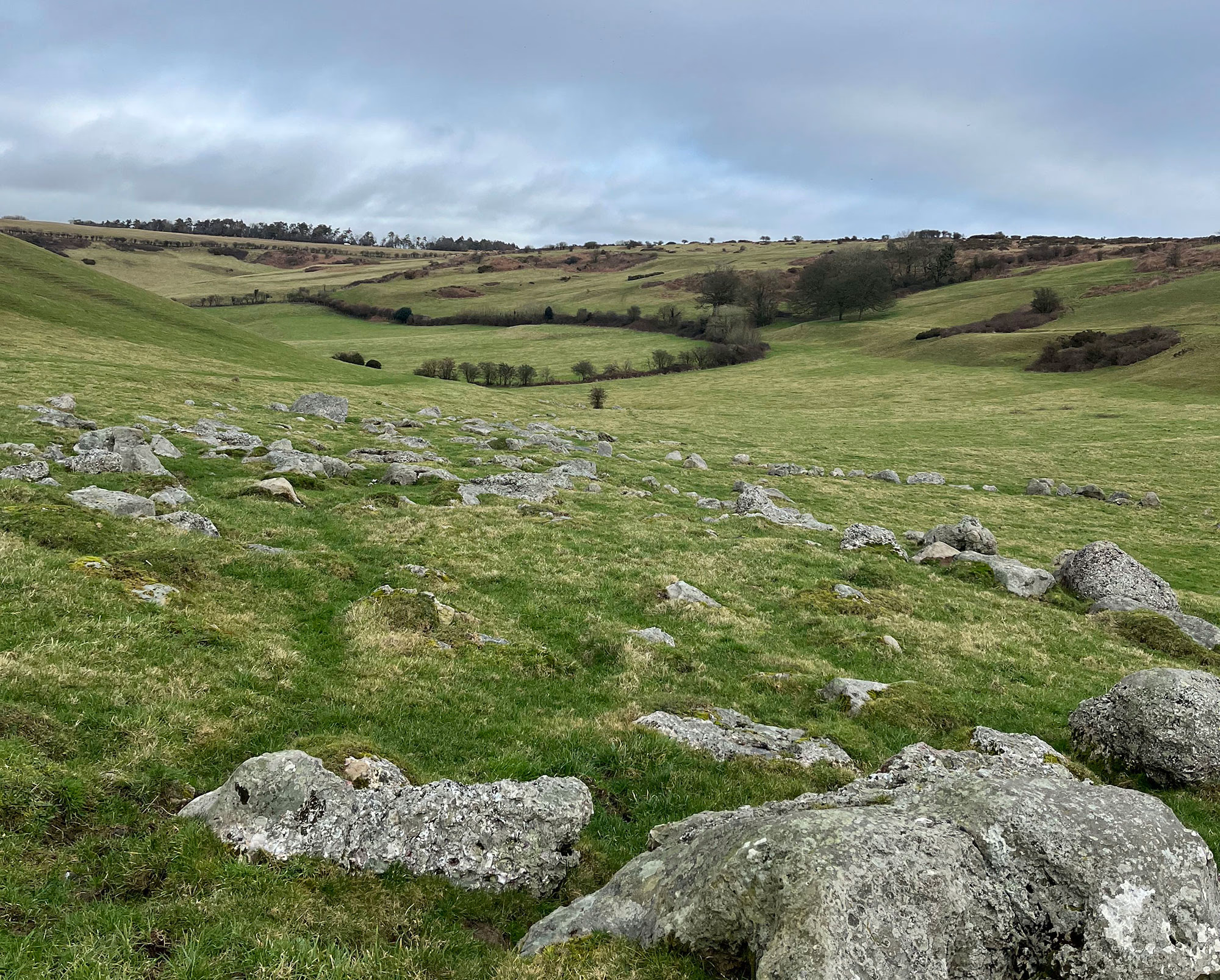
Take the longer alternative route, listed below, or head out of the village passing the cricket pitch, immortalised in several David Inshaw paintings, and towards the Valley of the Stones. Step through the ancient sarsens, used to build the surrounding ancient monuments, and look for the 5,000 year old polissoir used by the neolithic people to sharpen their stone tools (it can be hard to find but is near the hedge and easiest to spot when looking north). Follow the road to Hardy’s Monument, built as a nautical navigational aid in memorial to Vice Admiral Sir Thomas Hardy, and on to the Dorset Ridgeway. Pass the Bronze Age barrows, including one over 100ft across, before dropping down to Corton and the next stamp. Explore the little chapel of Saint Bartholomew set into the hillside and previously a free chapel and then a barn! Look for the medieval tiles and 13th Century altar top.
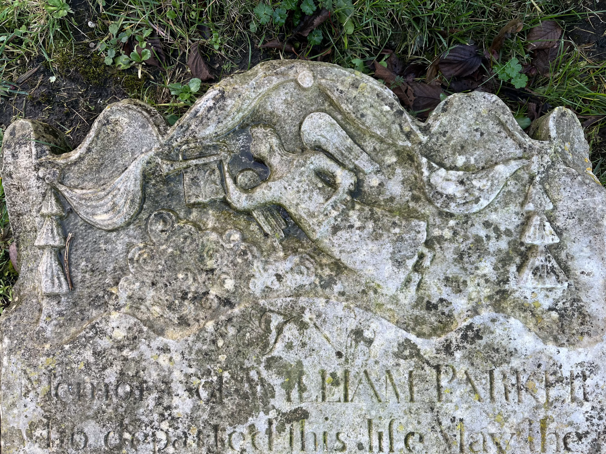
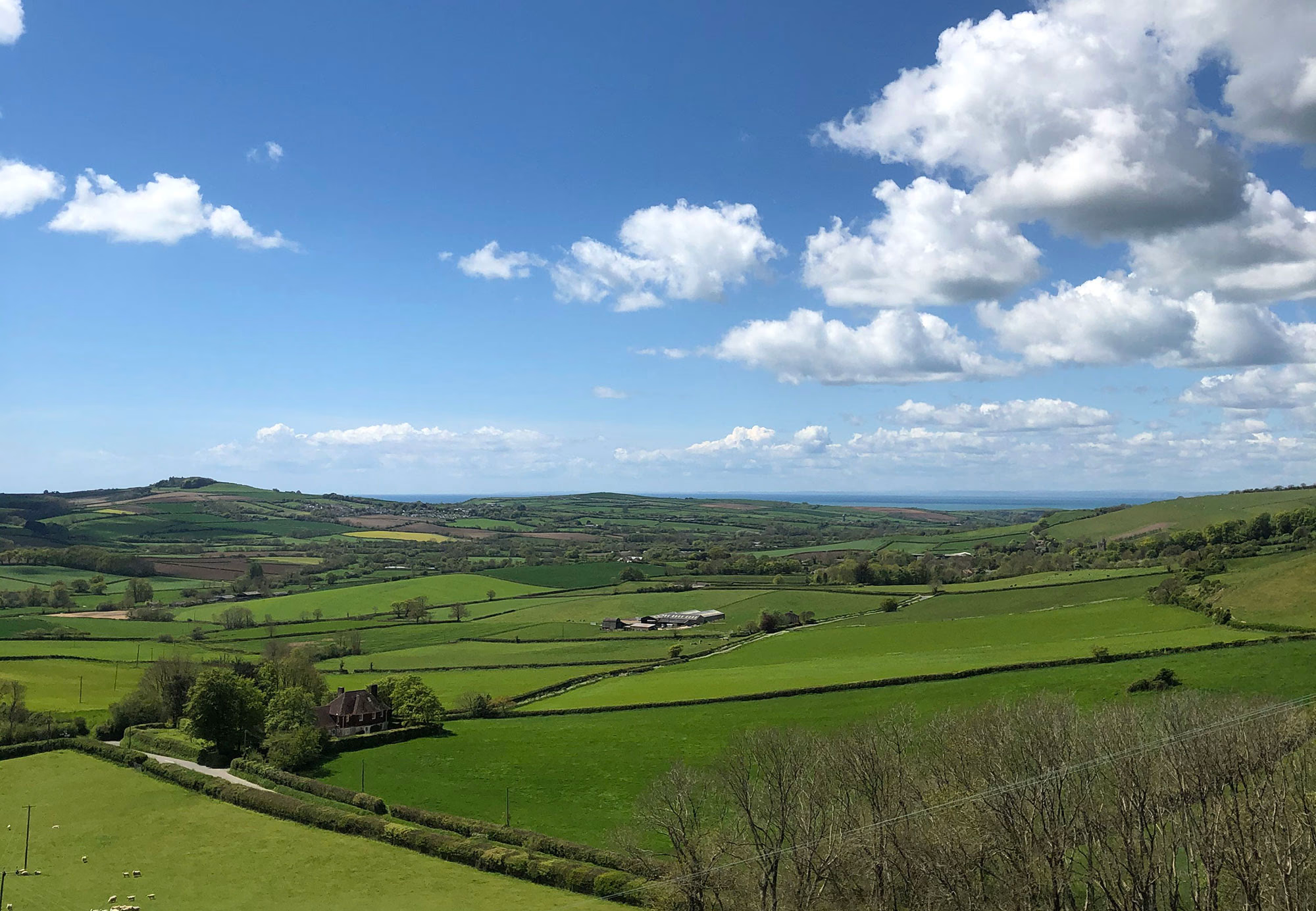
Take the lane to Portesham, passing the 17th Century Waddon Manor, and enjoy the far reaching views south to the sea. Cross the stream to Saint Peter’s Church, step through the 16th Century porch and explore the church’s medieval architecture and 16th and 17th Century woodwork, look for the daisy wheel witch mark on the back of the screen. Wander the churchyard with its historic table tombs and carved headstones and look for the sarsen boulder incorporated into the boundary wall.
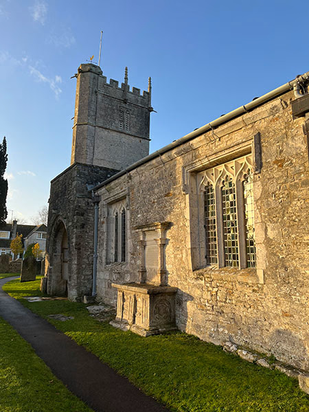
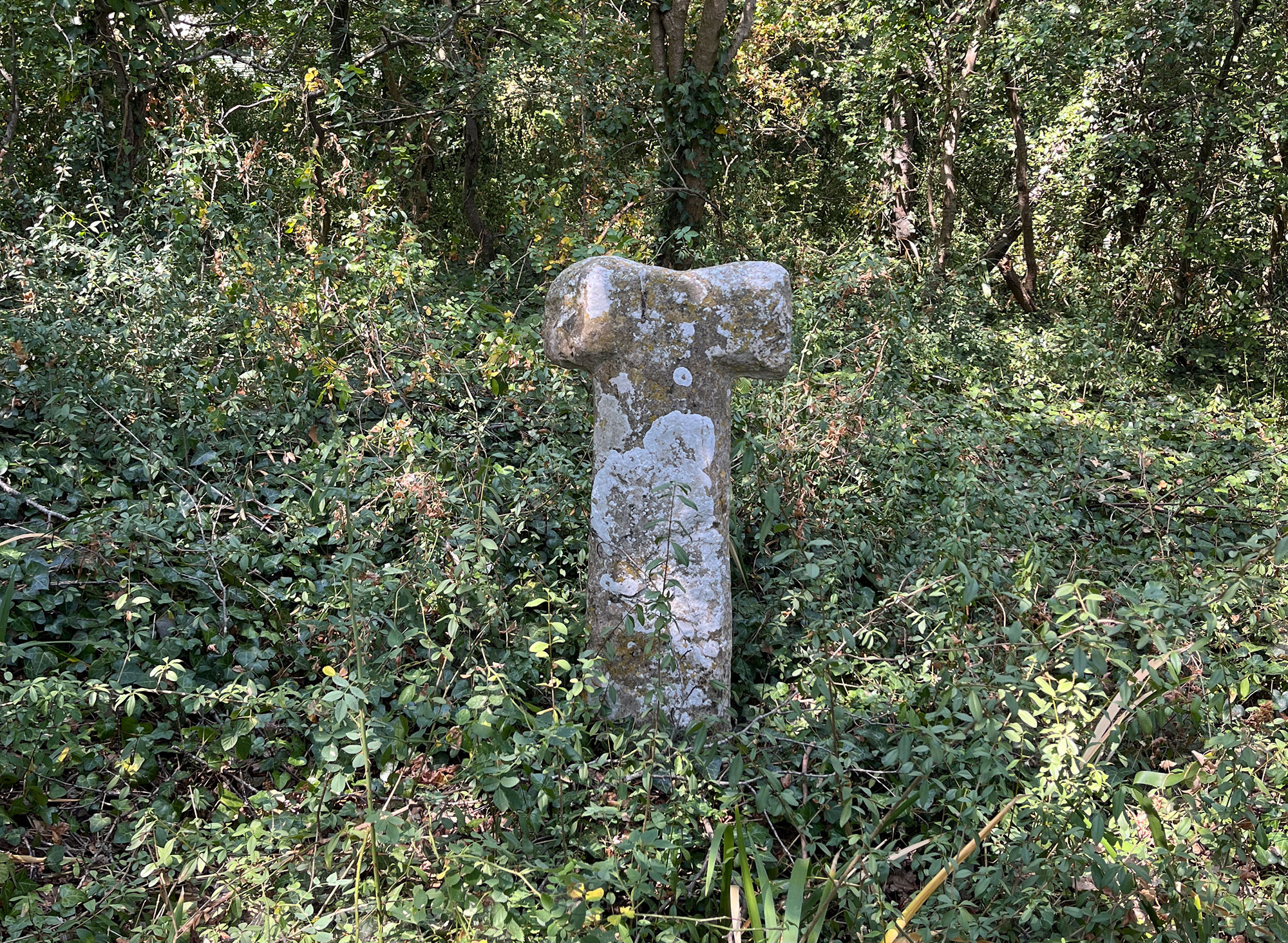
Take the fields to Langton Herring and Saint Peter’s Church, a fitting dedication given the village’s proximity to the Chesil and the number of unknown souls recovered from the sea and buried here. A small church in the centre of the village, St Peter’s was extensively restored in the 19th Century but still has its carved 15th Century font. Langton Herring is the only doubly-thankful village in Dorset, all its men returning from both the First and Second World Wars. A short detour east along the road will take you to Langton Cross, a medieval wayside cross.
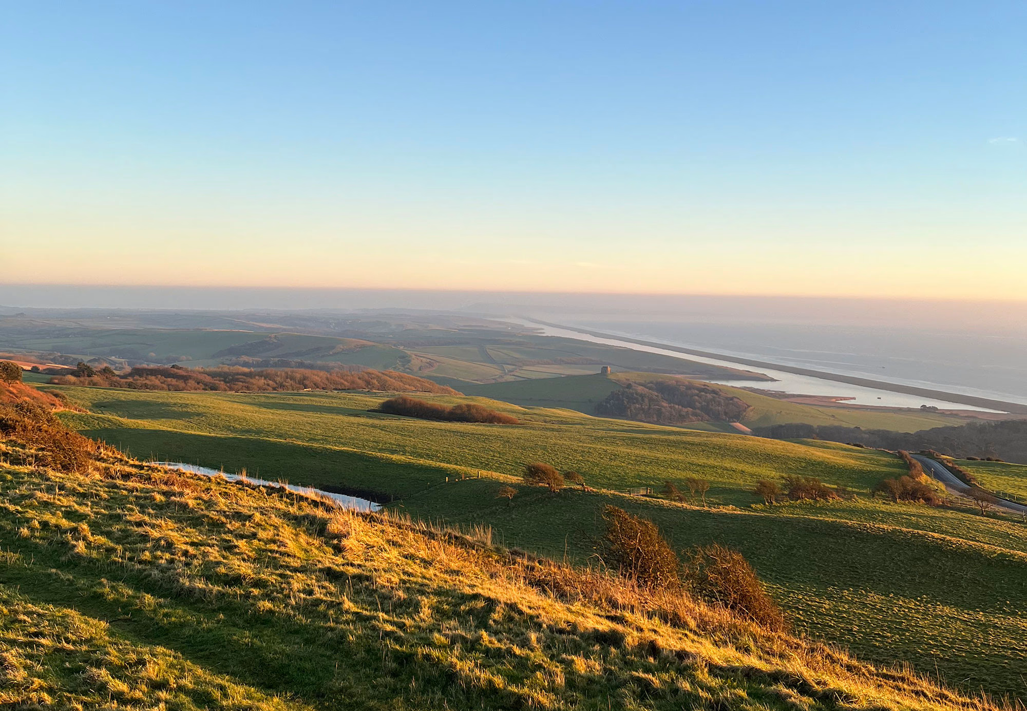
For the final leg of the pilgrimage, return across the fields and hill ridge to Abbotsbury, enjoy the view across to Saint Catherine’s Chapel, the final stop. Pass the swannery and climb the hill. St. Catherine’s was built by the Benedictine monks in the 14th Century as a site of medieval pilgrimage and it is here that we will finish ours.
The Pilgrimage- Practical
- The pilgrimage is approximately 39 miles and can be undertaken over several days (4-6) or done in smaller legs over a longer time frame
- The pilgrimage begins and ends in Abbotsbury, St. Catherine’s Chapel is cared for by English Heritage
- OS Explorer Map OL15 covers the entire route and is worth having
- The pilgrimage is largely across fields although there are some areas that cross roads, follow farm tracks, and alternative paths can be taken along the beach. Practical and grippy footwear is essential.
- Please be aware of farm machinery and livestock and be respectful of farmer’s livelihoods
- The pilgrimage is ‘open’ year round but many paths can become impassable during the wet winter months and so for your safety (and enjoyment!) we advise that you wait for the ground to dry out in mid-late spring
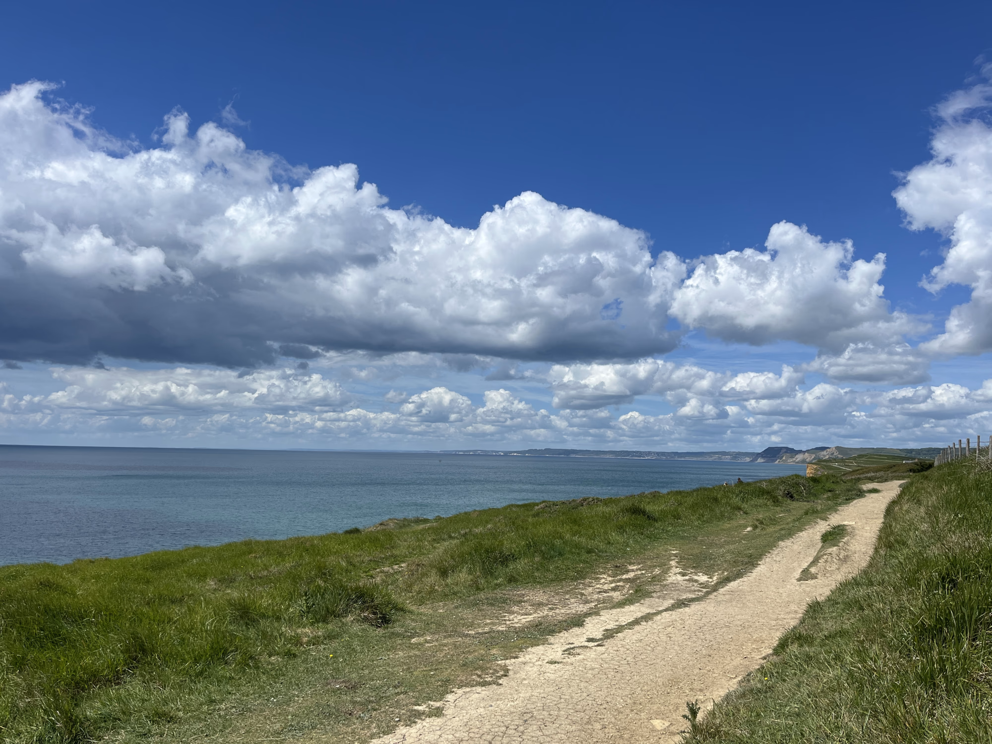
- The cliff top path to Burton Bradstock is prone to cliff falls so please stay away from the edge
- Should you wish to swim then please be careful, the safest area is at Burton Bradstock but it can shelve quickly and there is no lifeguard. Please do not enter the water if you are not a confident swimmer or the conditions are rough
- This is a rural area with few amenities, please ensure you bring plenty to eat and drink
- Marked on the map are pubs, accommodation, and shops. This list is not exhaustive. We do not endorse any of these, they are listed for your convenience, opening times can be checked on their respective websites
- The route has been planned to minimise the amount of time spent walking on roads however there are some areas where road walking is required. Many of the lanes are quiet but there will be some traffic which may include large farm vehicles.
- We ask that all pilgrims follow the Countryside Code: Respect Everyone; Protect the Environment; and Enjoy the Outdoors
- Dogs are welcome but please keep them under control and pick up after them
- The church at Bothenhampton is cared for by the Churches Conservation trust and is not part of the Bride Valley and Chesil benefice
The Pilgrimage- Route
- The route between Litton Cheney and Long Bredy is currently road only as the footpath is impassable due to a lack of footbridge, please do not attempt to take the footpath as it is not safe
- If you would prefer to walk on the beach on the way to Burton Bradstock then please do, there are several places where you can get back to the path
- There is an alternative route out of Little Bredy that takes in an ancient enclosure, a stone circle, and the Grey Mare and her Colts long barrow. This route is longer and involves crossing the river and a steep hill
Little Bredy Alternative Route
- Turn right as you exit the church and through the lychgate, continue straight across the lane and unfenced field
- Take the foot stile and continue straight across the field
- Take the next stile and head down hill to the river, cross the river, then head back up the far hedge
- Through the gate and towards the far hedge, the path bears to the left as you round the corner
- Through the gate and head uphill to the gate at the top of the field
- Through the gate and head for the far left of the field
- Join the farm track and round the corner, take the field directly ahead of you and up the steep hill, pass the Bronze Age enclosure
- Through the gate and aim for the far left of the field, pass the Kingston Russell stone circle
- Turn left onto the farm track and keep to the hedge, follow the track for approximately ½ mile
- Find the finger post to the Grey Mare and her Colts and follow it left into a field, take the second gate on the left and bear right to the long barrow
- Return to the main path the same way and continue south-east
- Join the track and continue south-east, look for the Moot stone, a small standing stone just after you leave the fields
- Turn left on to the road and follow it to the crossroads, at this point you will be back on the main pilgrimage route. As you walk along the road look into the valley on your left to see the ancient Valley of Stones
The Pilgrimage- Spiritual
- We welcome pilgrims of all faiths and none
- Please enjoy each of the churches along the route and use your visits as a time to reflect and rest, all of the churches are open daily
- Specially designed stamps are available at each of the churches so you can record your visit and progress in a pilgrim’s passport, these are available from the benefice, the British Pilgrimage Trust, or you can make your own
- Bring a pencil or pen with you to record your thoughts and feelings while walking
- This is an ancient landscape littered with prehistoric monuments and burials, take a moment to reflect on those who came before us and their connections to the land
- This isn’t a race. Take time to reflect on the landscape, the journey, and yourself. Stop and admire the view, smell the flowers, sing, dance, pray, and enjoy being outdoors!
Route and stamps designed by Francesca Dewhurst for the Bride Valley and Chesil Benefice
Route highlights

Location

Nearby Places


Nearby Sanctuaries


Discover holy places, and bring your own beliefs.
Pilgrimage by foot is connected with places and landscape, and how those places make you feel. Read about holy places.
At the British Pilgrimage Trust, we believe a pilgrimage should be made on an individual’s own terms. We are founded on the principle that we can all bring our own beliefs to the journey, accessible and welcoming to all.


Comments
0 Comments
Login or register to join the conversation.
Tom Jones
Lorem ipsum dolor sit amet, consectetur adipiscing elit. Suspendisse varius enim in eros elementum tristique. Duis cursus, mi quis viverra ornare, eros dolor interdum nulla, ut commodo diam libero vitae erat. Aenean faucibus nibh et justo cursus id rutrum lorem imperdiet. Nunc ut sem vitae risus tristique posuere.
Tom Jones
Lorem ipsum dolor sit amet, consectetur adipiscing elit. Suspendisse varius enim in eros elementum tristique. Duis cursus, mi quis viverra ornare, eros dolor interdum nulla, ut commodo diam libero vitae erat. Aenean faucibus nibh et justo cursus id rutrum lorem imperdiet. Nunc ut sem vitae risus tristique posuere.